What is the use of auto geocoding for addresses?
Geocoding is associating latitude and longitude with an address. It allows dispatchers to locate work orders more effectively than providing only an address. Dynamics CRM Field Service needs latitude and longitude values for service account records to estimate travel times when scheduling a work order to a resource.
With the Auto Geo Code addresses setting, the system attempts to automatically add the coordinates based on the address provided for the service account.
Geocode the address on a record
1. Open a work order or a service account.
2. Ensure the address is accurate.
3. On the top command bar, select Geo Code.
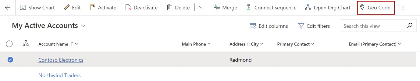
4. On the map dialog box, make sure you have the correct address and then select Change.